DJI
DJI Zenmuse L1 LiDAR Payload
$8,115.85
$8,543.00
5%
Off
Unit price
Quantity
TI100984
DJI Zenmuse L1 LiDAR Payload
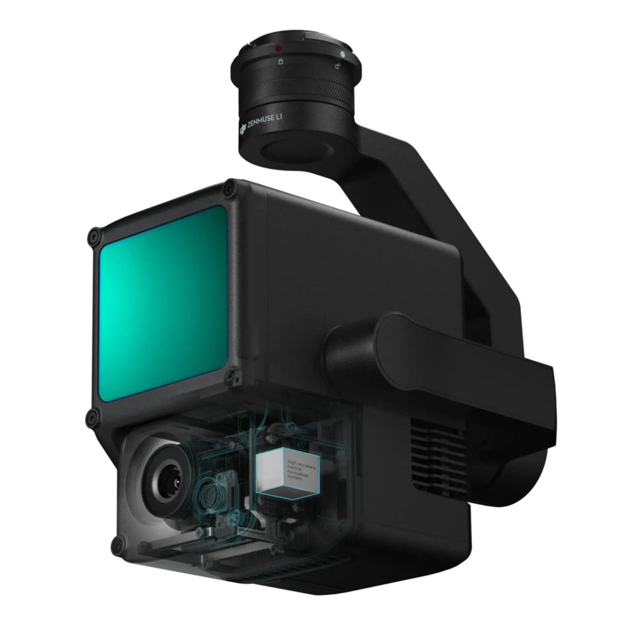
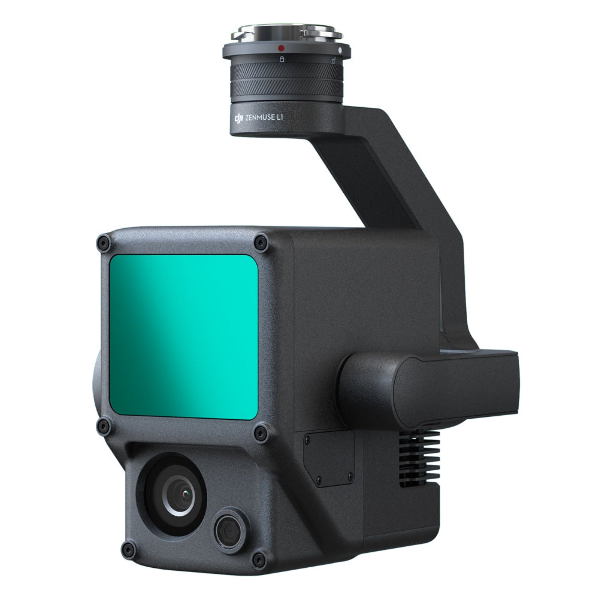
The DJI Zenmuse L1 LiDAR Payload combines high-precision LiDAR technology, a powerful RGB camera, and an IMU system into one integrated solution, transforming aerial mapping and 3D data collection. Built for professionals who demand accuracy and efficiency, the Zenmuse L1 delivers real-time, true-color point cloud data that enables rapid terrain modeling and detailed structural analysis.
Next-Level Aerial LiDAR Mapping
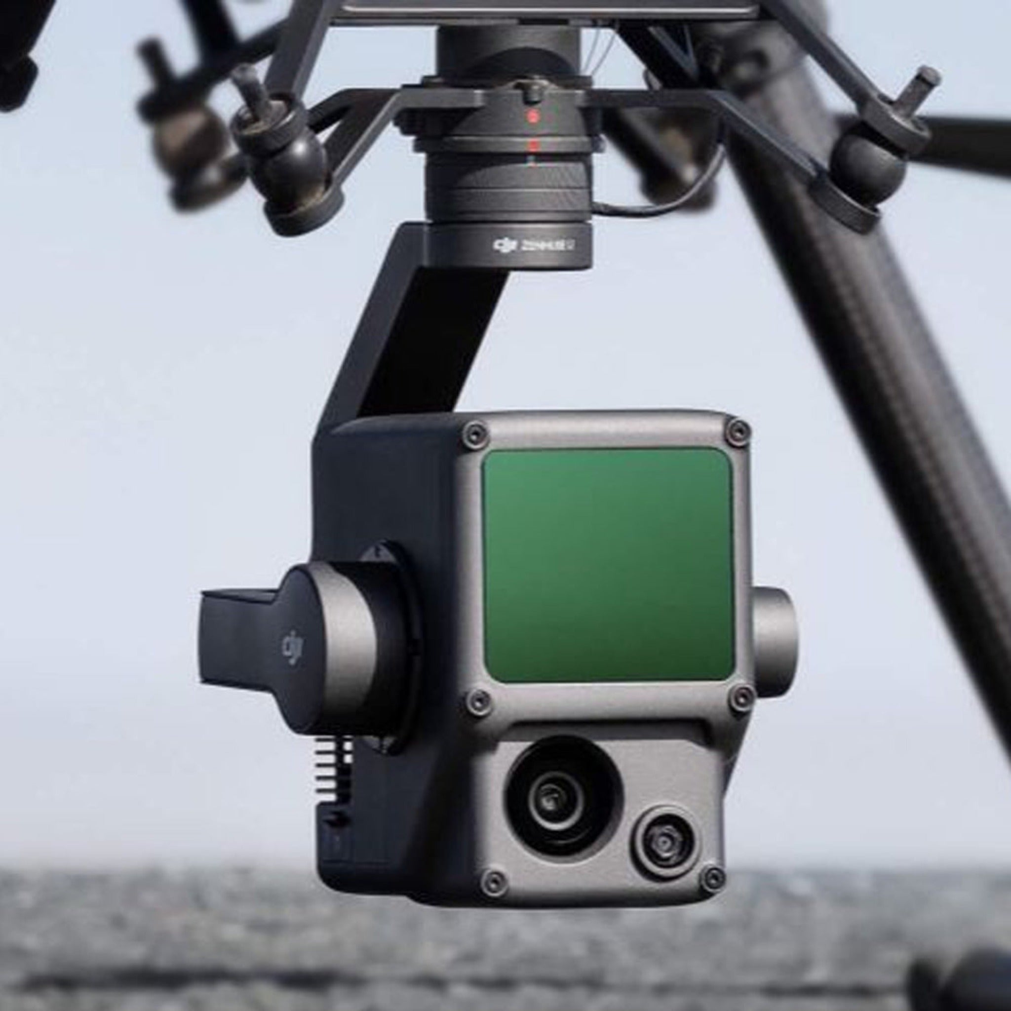
With its advanced Livox LiDAR module, the DJI Zenmuse L1 captures up to 240,000 points per second and provides exceptional accuracy, even in low-light conditions or complex environments. Mounted on the DJI Matrice 300 RTK, it creates high-resolution 3D maps in real time, helping surveyors and engineers visualize and measure environments with unparalleled detail.
Integrated RGB Camera and IMU for Complete Data Sets
The integrated 20 MP RGB camera with a 1-inch CMOS sensor adds true-color detail to every scan, while the high-precision IMU ensures reliable data alignment and accuracy. Together, these components streamline your workflow by minimizing the need for manual data correction during post-processing.
Key Features
- Integrated LiDAR + RGB + IMU — all in one lightweight payload
- Up to 240,000 points per second for dense, accurate 3D mapping
- Real-time point cloud visualization in DJI Terra software
- 20 MP 1-inch CMOS sensor for true-color imaging
- IP54-rated protection for reliable performance in harsh conditions
- Compatible with DJI Matrice 300 RTK for seamless integration
Precision, Performance, and Productivity
The Zenmuse L1 enables professionals in surveying, forestry, construction, and public safety to collect precise geospatial data quickly and efficiently. Whether capturing dense vegetation, powerline corridors, or large-scale infrastructure, this LiDAR payload empowers users to make confident, data-driven decisions in the field.
Experience the future of aerial 3D mapping with the DJI Zenmuse L1 LiDAR Payload — precision, reliability, and intelligence in every flight.
Ask a question
Compare Products
| Price |
|---|
| SKU |
| Rating |
| Discount |
| Vendor |
| Tags |
| Weight |
| Stock |
| Short Description |
Compare Products
Need help
- Heading
- Heading
Description here


