
LiDAR point clouds
Centimeter accurate 3D data suited for vegetation penetration, dense infrastructure, and projects where photogrammetry struggles.
Commercial drone services for aerial mapping, infrastructure inspection, thermal surveys, and LiDAR point clouds.
Centimeter accurate 3D data suited for vegetation penetration, dense infrastructure, and projects where photogrammetry struggles.
Delivered as point clouds, orthomosaics, and 3D meshes.
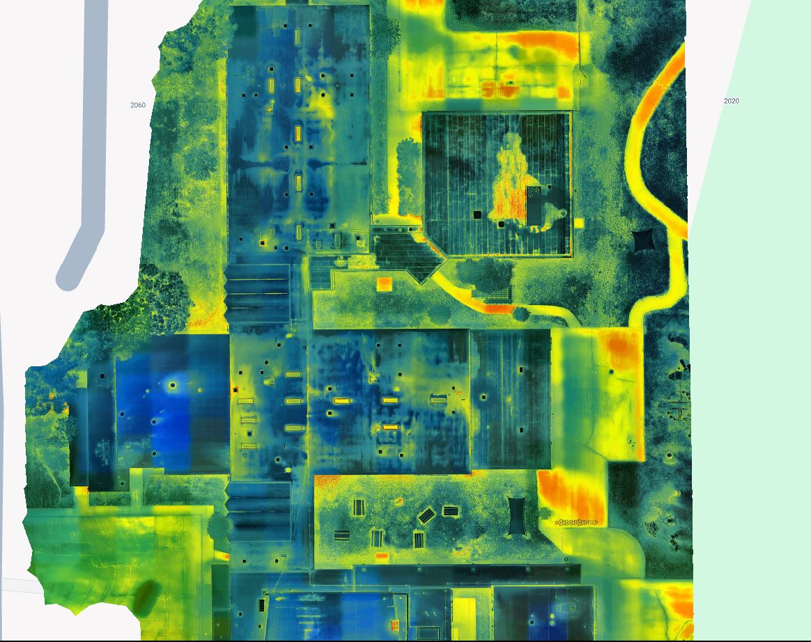
Radiometric thermal captures for roof surveys, substation inspections, solar panel diagnostics, and fire aftermath documentation.
We talk through the deliverables you need, the site constraints, and the schedule. You get a quote with a clear scope, not a per hour estimate.
Our Part 107 pilots handle airspace coordination, LAANC authorizations, and on site safety. Weather windows and site access are planned around your operations.
Captures are processed in Pix4D, Agisoft, or DJI Terra depending on the deliverable. GCPs and RTK data are factored in for projects requiring survey grade accuracy.
You receive the files you need in the formats your team actually uses. Orthomosaics as GeoTIFF, point clouds as LAZ or LAS, 3D models as OBJ or FBX, reports as PDF.
We deliver files in the formats your team already works with. Orthomosaics ship as GeoTIFF with the appropriate coordinate system baked in. Point clouds ship as classified LAS or LAZ, ready to open in Pix4D, Cloud Compare, or your preferred software. 3D meshes ship as OBJ or FBX with the textures packaged. Reports ship as PDF with annotated findings for stakeholder handoff.
Every project includes a brief write up documenting the flight date, equipment used, processing parameters, and any site specific notes. Repeat clients receive consistent file structures across projects so your team can automate downstream workflows.
Every mission is flown by a Part 107 certified pilot with insurance coverage appropriate to the operating environment. Pilots are briefed on site specific hazards, airspace restrictions, and operational constraints before flight day.
For complex sites or multi stakeholder projects, we provide a project brief ahead of the flight day so your team, the property owner, and any adjacent operators know exactly what to expect.
For standard scopes we can usually have a flight on the calendar within one to two weeks. Rush timelines are possible with a surcharge for projects requiring same week turnaround.
Yes. We regularly travel for multi day projects and corridor work. Travel costs are itemized separately in the quote so there are no surprises.
It depends on the deliverable. RTK based photogrammetry with proper GCPs targets two to three centimeter horizontal and three to five centimeter vertical. LiDAR deliverables with the Zenmuse L2 or L3 are targeted at three centimeter vertical accuracy. We publish the achieved accuracy in the project write up.
Yes. We work in whatever CRS your team uses. State plane, UTM, and local project coordinates are all routine.
Either. Many clients want only the final deliverables. Others, especially engineering firms with in house processing, prefer the raw point clouds, flight logs, and RTK observations so they can run their own pipeline. We quote both.
We quote per project, not per hour. The quote covers scope, flight day, processing, deliverables, and one revision round. Repeat flights for progress tracking receive a reduced per flight rate once a baseline is established.